About Canada Property Map
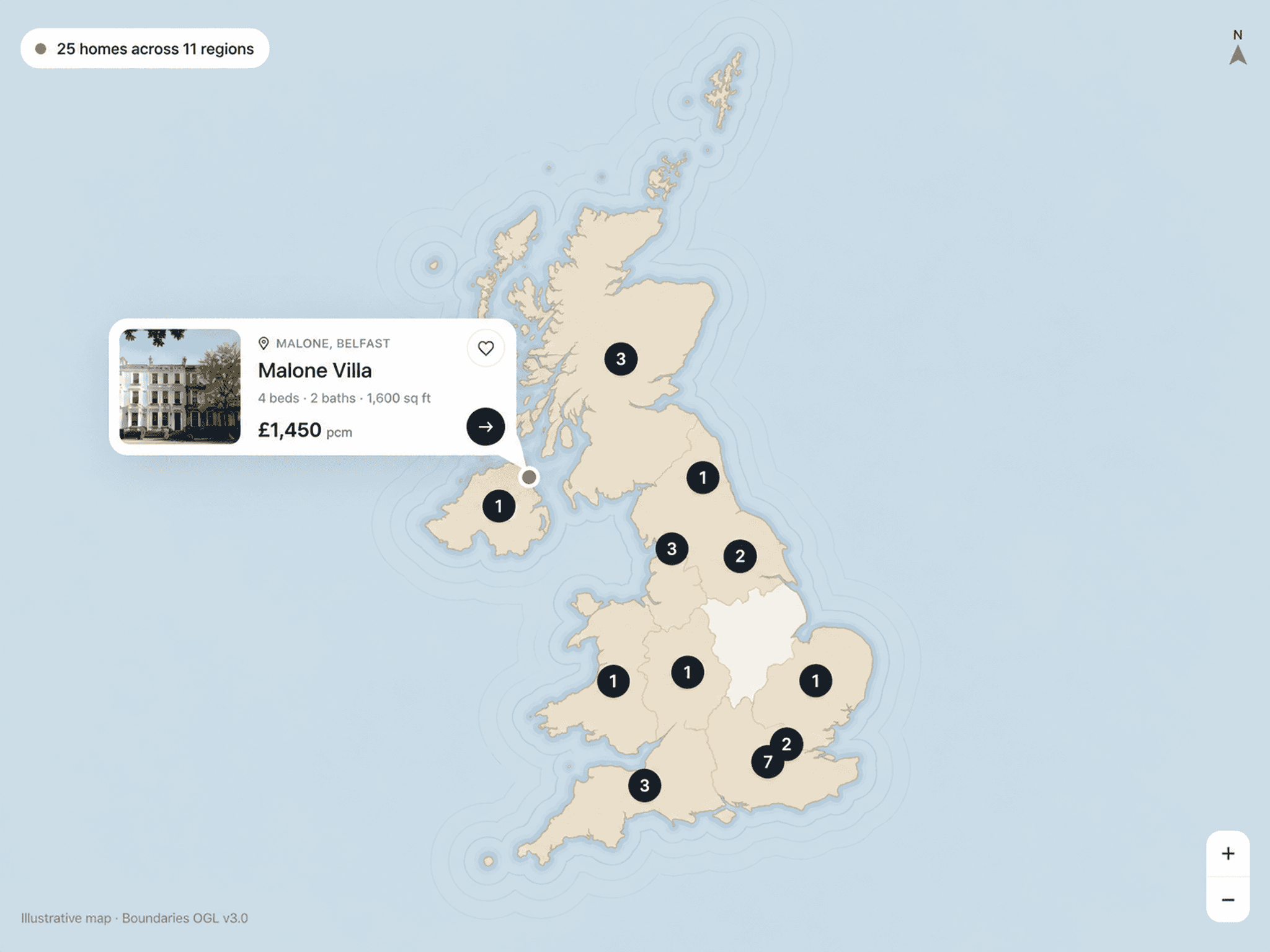
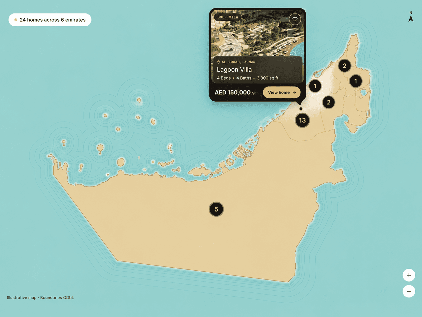
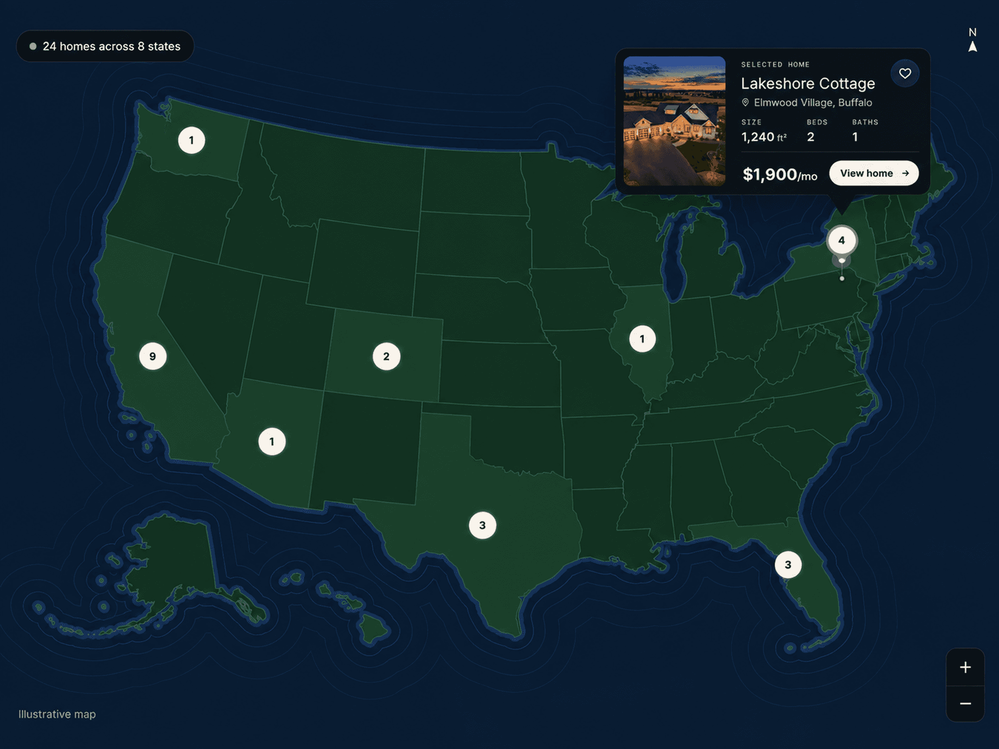
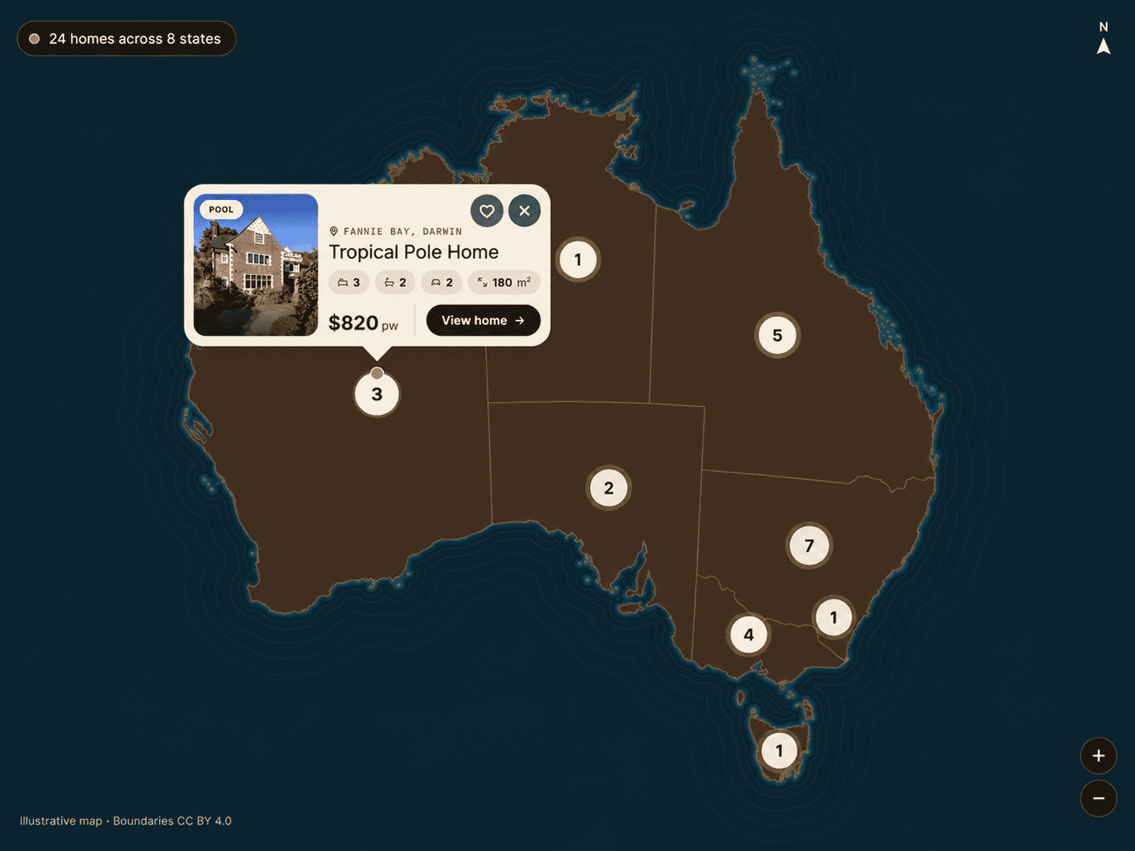
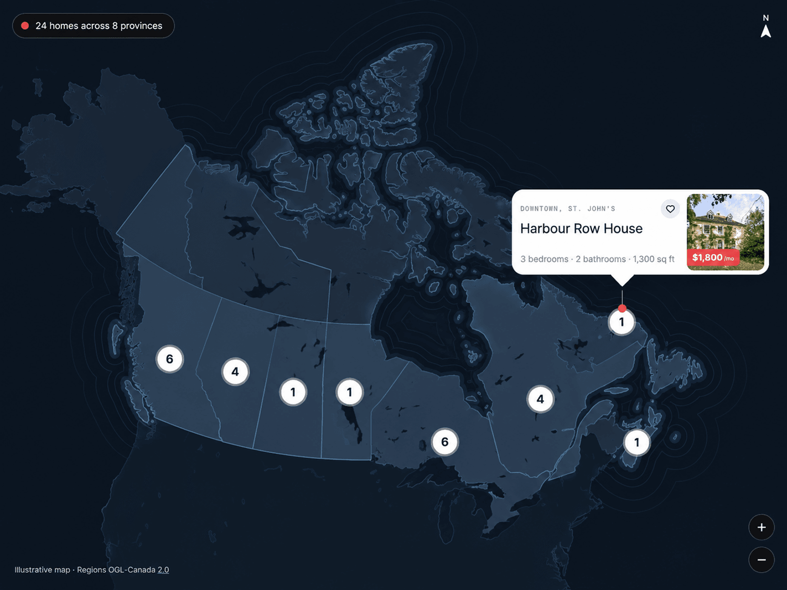
Canada Property Map is an interactive real estate map built for showcasing property listings across Canada. It combines detailed Canadian geography with location-based property markers, giving users a visual and engaging way to explore homes and listings across provinces, cities, and local regions.
Add your own property data with latitude and longitude coordinates, images, titles, addresses, prices, property sizes, bedrooms, bathrooms, tags, and custom links. Visitors can explore Canada, select individual provinces, zoom into regional areas, and open detailed property cards directly from the map.
Key Features
Interactive Canada property map
Location-based property markers
Custom property images and listing details
Property price, size, bedrooms, and bathrooms
Latitude and longitude positioning
Canadian province and regional boundaries
City, town, and regional labels
Roads, streets, lakes, and natural areas
Property counts across provinces
Interactive province exploration
Smooth zoom and map navigation
Customizable property cards and markers
Custom map layers and visibility controls
Adjustable colors, typography, spacing, and styling
Custom currency, pricing, and unit formatting
Supports custom property data and links
Responsive Framer component
Where to Use
Canada Property Map is ideal for real estate websites, property marketplaces, rental platforms, estate agency websites, property directories, housing platforms, investment websites, vacation rental websites, and real estate landing pages.
The main places I’d include are Toronto, Vancouver, Montréal, Calgary, Edmonton, Ottawa, Winnipeg, Québec City, Halifax, Victoria, Regina, Saskatoon, Hamilton, Kelowna, Whistler, Banff, and St. John’s.
I hope you enjoy using this map! If you’re looking for custom map work, maps for other countries, or any other map-related project, feel free to reach out to me at oddframeworks@gmail.com